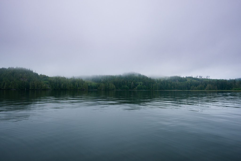
The North Coast trail, a rough and rugged trail that will take hikers though beautiful forests, stunning coastlines in a truly remote setting on the northern most tip of Vancouver Island. Most hikers start the hike from Shushartie Bay which is accessible via a one hour boat ride from Port Hardy. Once the boat has departed all there is left to do is venture on and take in the beautiful surroundings and the surreal isolation.
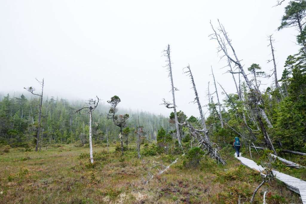
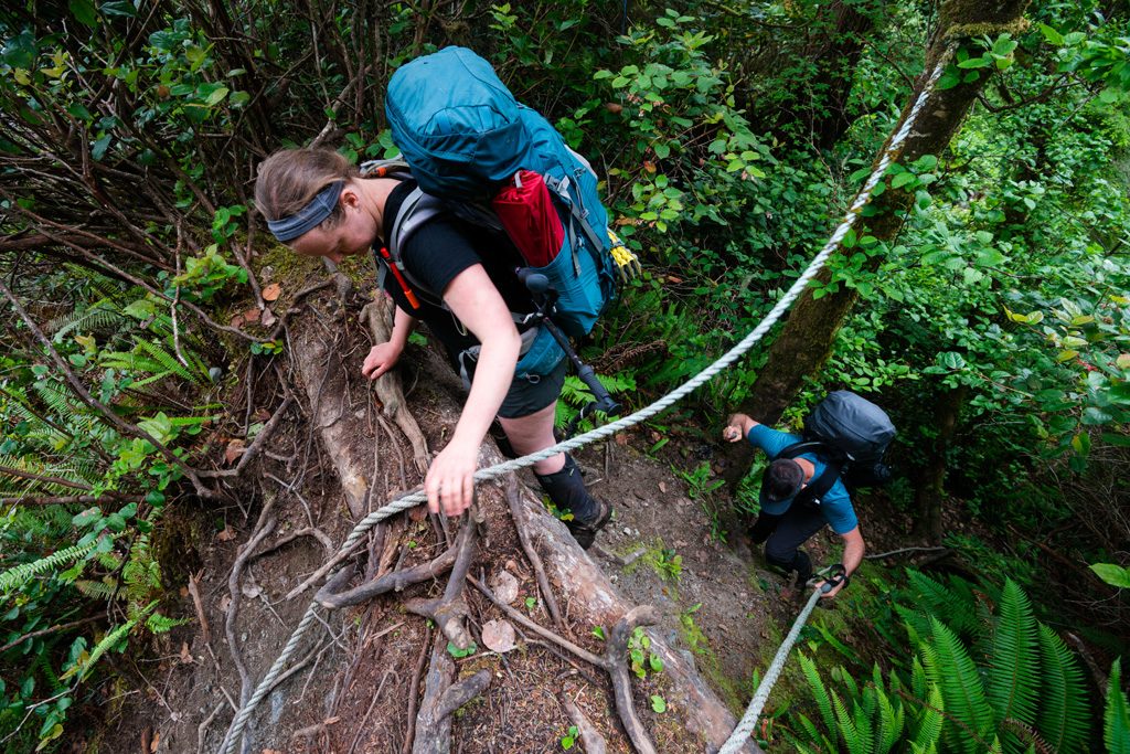
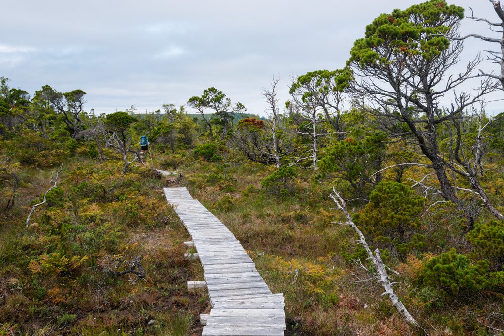
As soon as you step foot on shore you are greeted by a small taste of what is to come later on in the hike as you have to ascend a step bank using a fixed rope, something that will become common place later in the trip, nothing like a nice easy warm up. Once you climb up to the highest point on the trail you get into one of the upland bog sections of the trail, this is a truly unique ecosystem that feels more like the alpine than something so close to the coast.
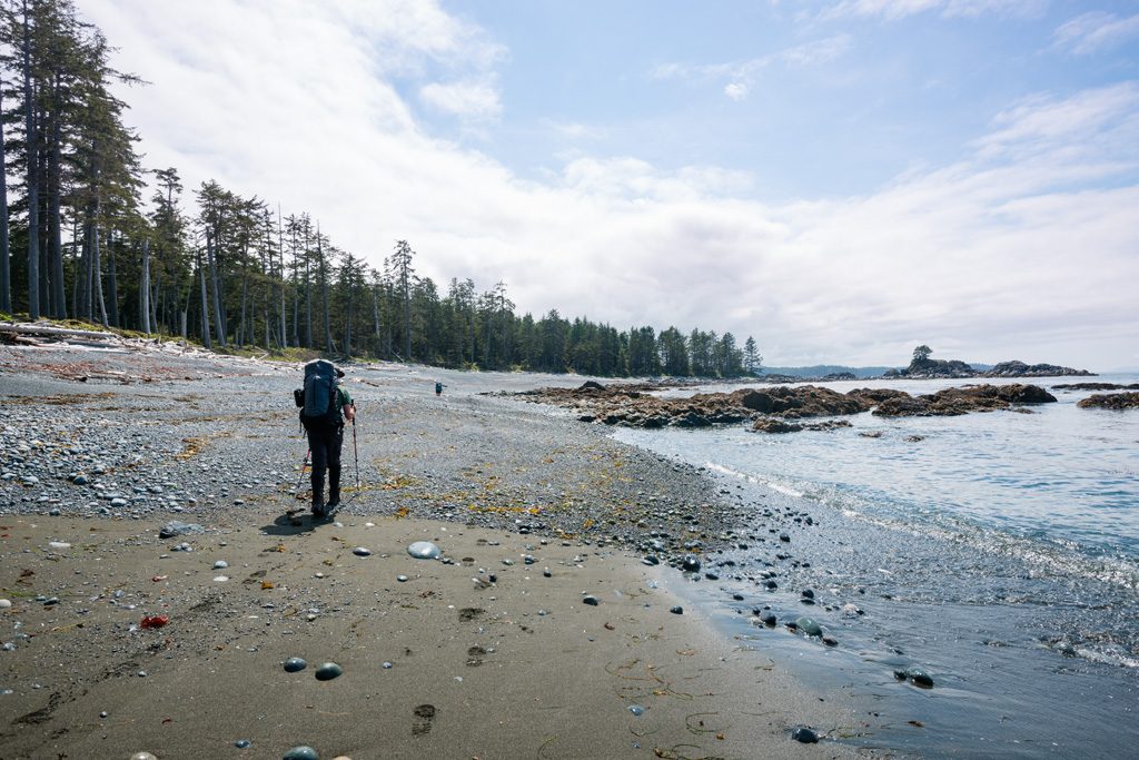
After the longest overland section is complete you are back on the coast although the route takes hikers on a mix of beach and overland, whatever offers the least resistance the rest of the trail. Our first night we made camp at the Nahwitti River which at one was the site of an old settlement. If you look closely across the river from the established campsite you can spot of of the remaining structures.
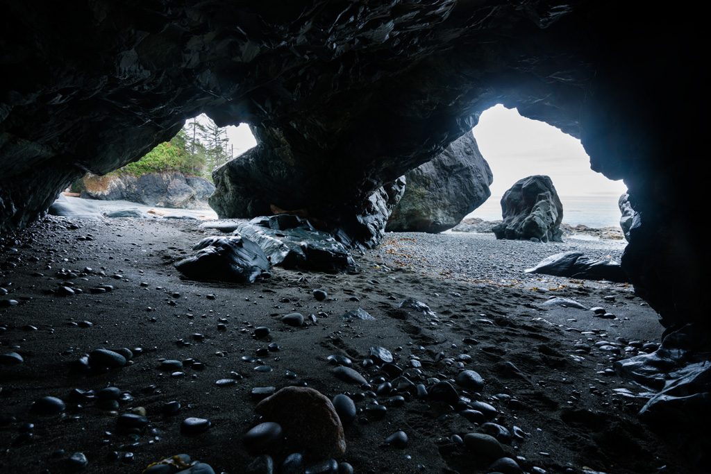
Day 2 we had a leisurely start to our day with the goal of making it to Cape Sutil, the northern most tip of Vancouver Island, although the actual tip is of Cape Sutil is outside of the park and has restricted access that should be respected. Before making it to Cape Sutil you need to decent “long leg stairs” a substantial series of steps which has the one tidal cut off at the bottom which was part of the reason for the late start. We enjoy a late lunch near the tidal cutoff which has a few small sea caves worth exploring.
Shortly after this you are into some of the most technical hiking on the trail, a series of rocky headlands that has hikers going up and down a number of step slopes.
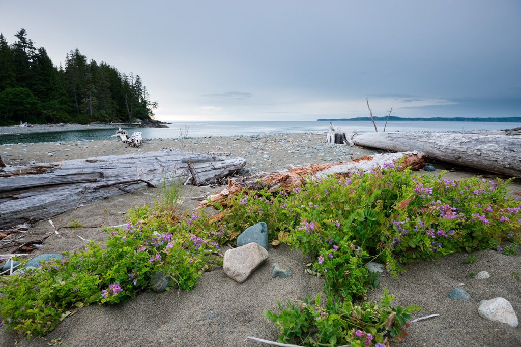
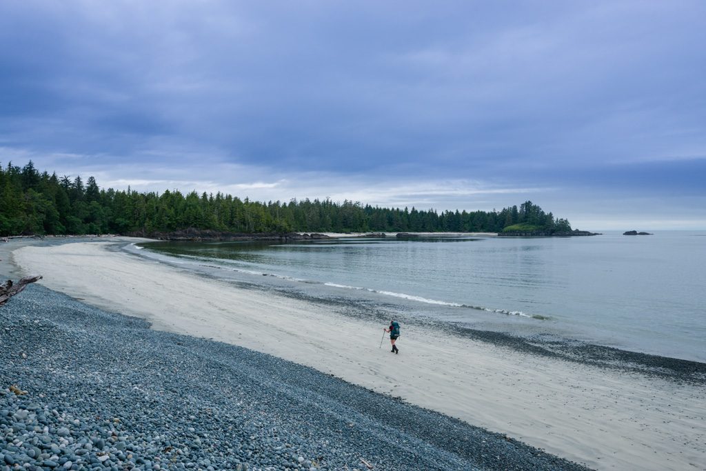
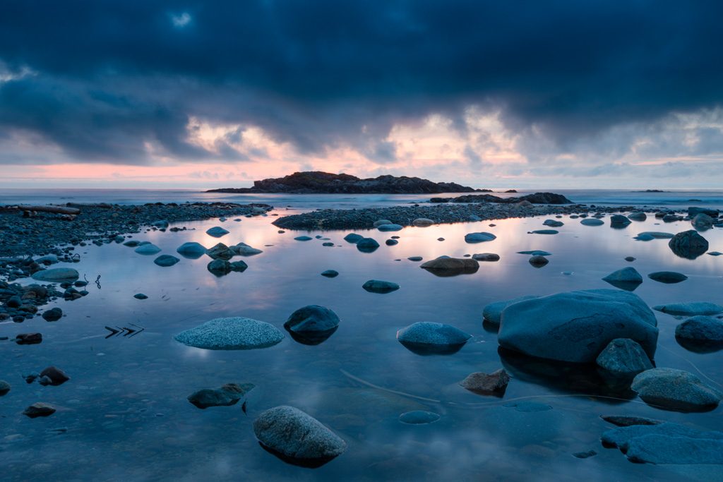
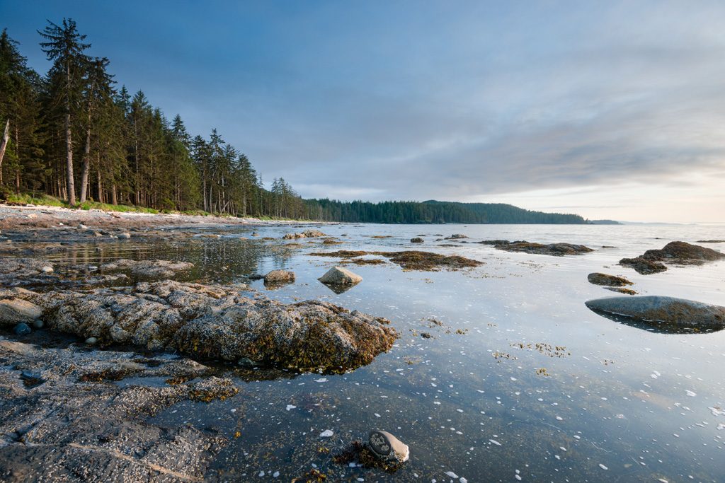
Cape Sutil itself was a stunningly beautiful beach with sweeping views and in our case totally deserted, even the ranger outpost was empty. I have to say one of the perks of remote hikes like this is unusual feeling of being alone in the world.
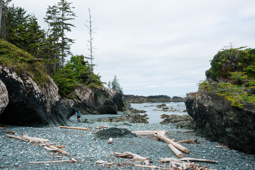
Leaving Cape Sutil you traverse a series of pocket beaches and rocky headlines. Along the way you see some sweeping beaches and you go past a unique geological feature a tombolo which was a great location to stop for lunch.
Getting into camp at Irony creek it was another stunning location and the one camp that had the fresh water source close to camp. One of the oddest things about this trail was that the water source was often up to 500m away from camp which is not always the most convenient. Other hikes I have done usually have the camp locations near the water source.
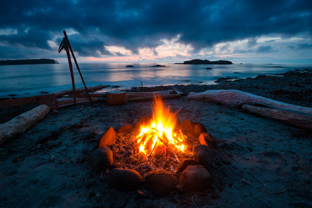
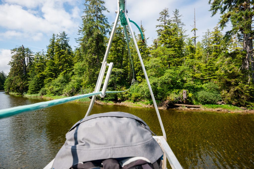
The whole time we where at Irony creek we had whales off shore which is always a treat to be able to see. The next morning we a nice easy walk before doubling back to cross Stranby River over the 2nd cable car crossing of the trip.
After this it was a series of rocky beaches where we ran into a number of bears one just outside of our campsite at Laura creek. This was also the first night we shared our campsite since the first night as a group had caught up to us at this point.
The next section was the last overland section before the end of the trail at Nissen bight. Before dropping back down to Nissen bight you pass near the Nahwitti Cone and another section of upland bog which was full of stunted trees.
Once you make it to Nissen bight you are technically done the 43km North Coast trail but you still have another 16km or so of hiking left to get to the Cape Scott trail head unless you decide to hike out to the Cape Scott light house. From here we hiked to our final night at Eric which was extremely buggy but was very surprised to find that at the lake the breeze kept the bugs at bay. The following day we hiked out the remaining trail to the Cape Scott trail head where the trail bus drove us back to Port Hardy.
The North Coast trail was along what I was expecting, a rugged route along the northern tip of Vancouver Island. We did not spend as much time on the beach as I was expecting but it was a nice variety of terrain. Nothing beats the remoteness of a hike like and it is something I would certainly recommend for anyone looking for something a little more wild and challenging than the other more established coastal hikes on the island like the West Coast trail or the Juan du Fuca.